Events that address critical issues confronting society in pursuit of environmental balance, economic vitality & social justice.
Get weekly updates on the Sustainability Events Calendar with the UCI Sustainability Resource Center’s Weekly Digest.

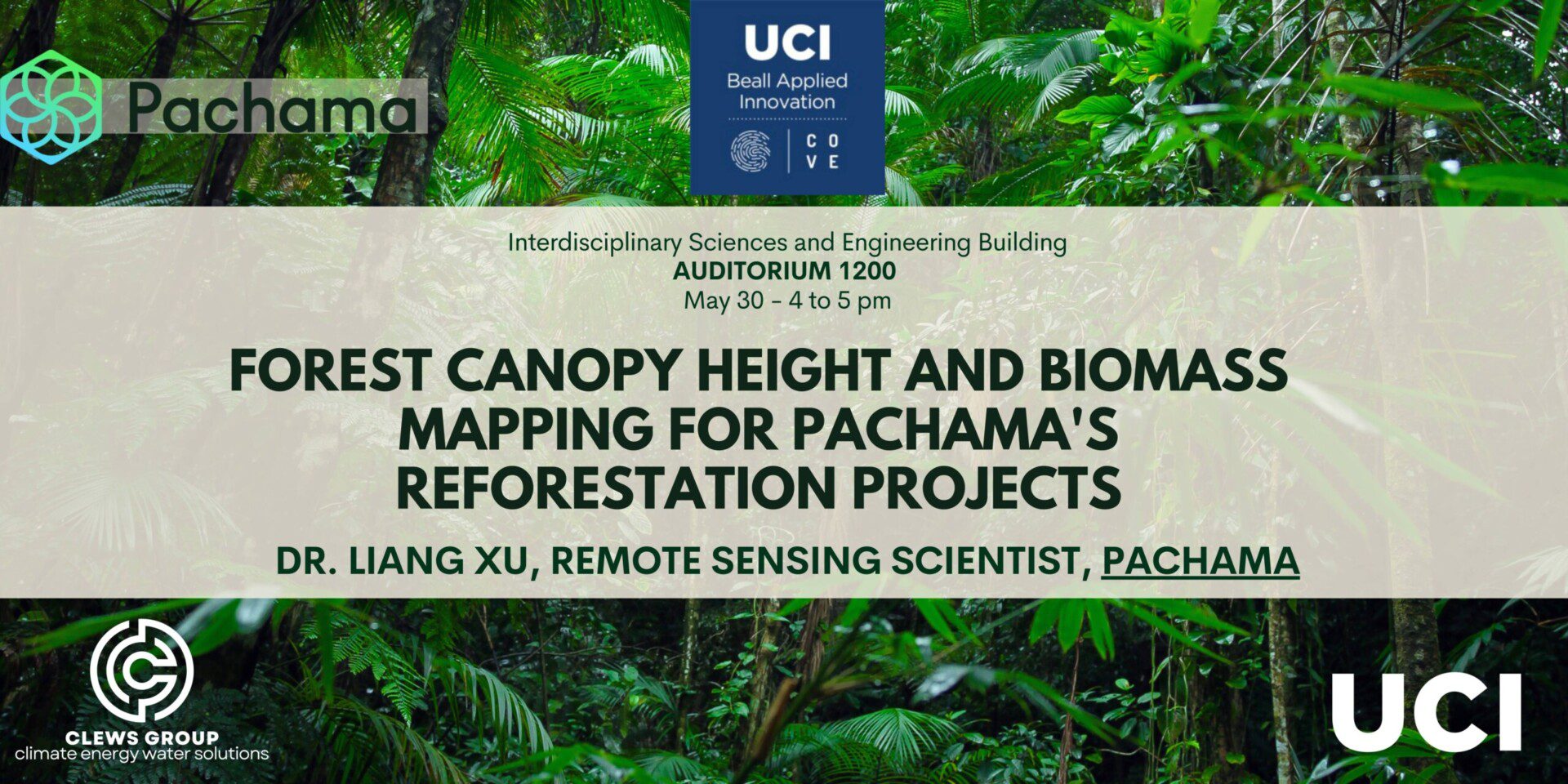
CLEWS Seminar: Forest Canopy Height and Biomass Mapping for Pachama’s Reforestation Projects
Next Thursday our seminar will feature Dr. Liang (Alan) Xu, Remote Sensing Scientist at Pachama. Pachama is using machine learning models to match each satellite pixel in a project to a 'control' pixel outside the project with similar attributes. They then use satellite data to observe forest loss in the control pixels compared to the pixels in the project area.
Date: May 30; 4-5pm, followed by a reception
Location: 1200 Interdisciplinary Science and Engineering Building (ISEB)
About: Liang (Alan) Xu has extensive experience in remote sensing and vegetation analysis, having worked at institutions such as UCLA, NASA Jet Propulsion Laboratory, and Boston University, focusing on machine learning algorithms for Lidar/Radar data fusion, carbon dynamics modeling, and the impact of environmental changes on vegetation. They hold a BS in Physics from Fudan University and a Ph.D. in Geography from Boston University.
- This event has passed.